Roopkund Trek

The Roopkund Trek takes you deep into the high Himalayas, moving from forested trails and alpine meadows towards the stark, high-altitude landscape surrounding Roopkund Lake and Junargali.

Duration

8 Days / 7 Nights

Difficulty

Challenging

Altitude

5,150 m / 16,896 ft

Trek Distance

Approx. 53 km

Location

Roopkund, Uttarakhand

Program overview

Roopkund Trek

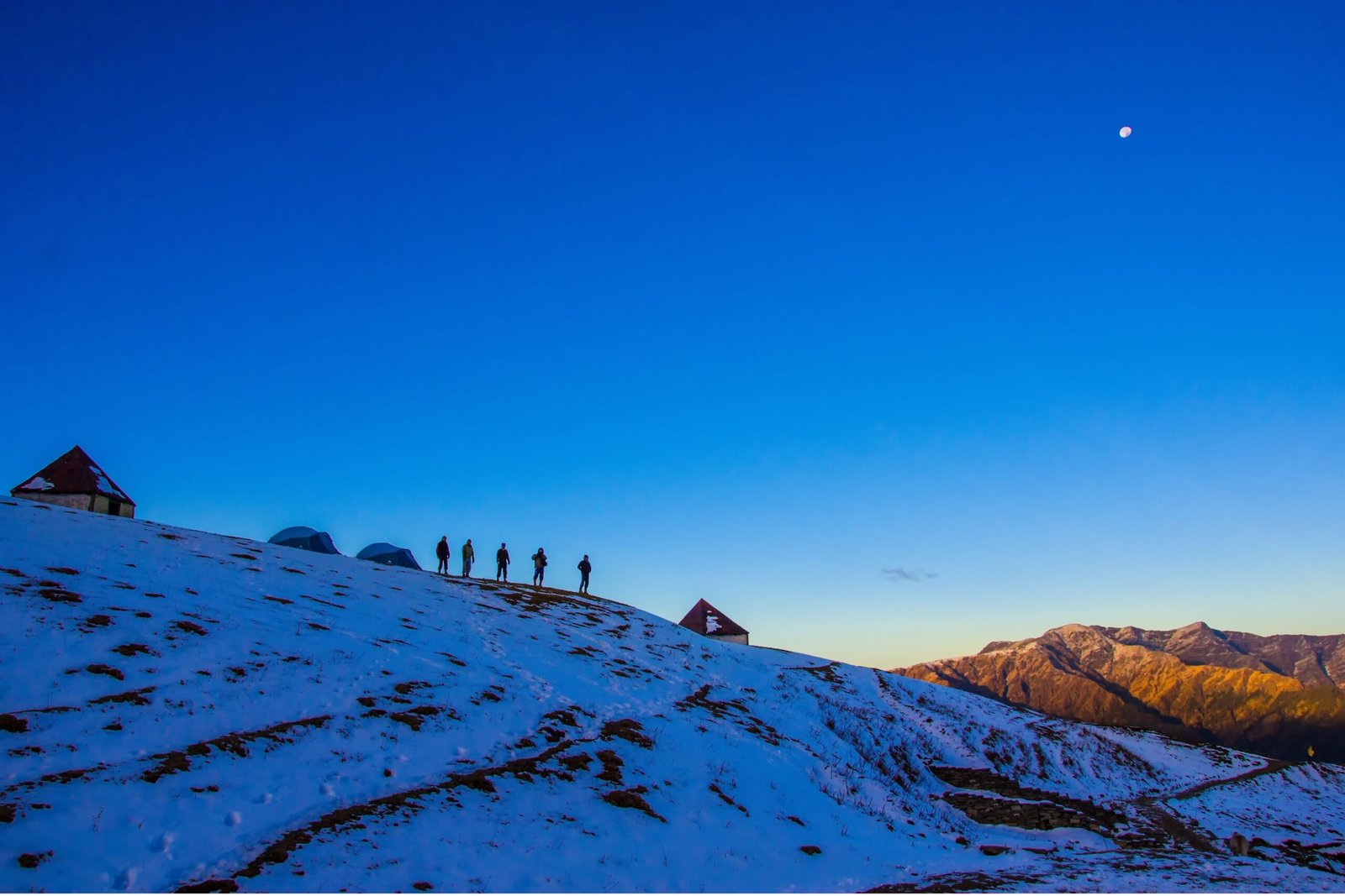
The Roopkund Trek takes you deep into the high Himalayas of Uttarakhand, beginning at Lohajung and gradually moving through mountain villages, dense forests and expansive alpine meadows. The route passes through Didna Village, Ali Bugyal, Bedni Bugyal and Patar Nachauni before entering the higher and more rugged terrain around Bhagwabasa.

As the trail gains altitude, the landscape changes dramatically. Forests give way to open meadows, the mountains become increasingly rugged, and the climb through Kalu Vinayak leads towards Bhagwabasa, the final high-altitude camp before the summit section. The gradual progression through different landscapes is an important part of what makes this trek so distinctive.

The main challenge comes on the early morning climb towards Roopkund Lake, located at approximately 5,029 metres (16,499 ft). After reaching the lake, the route descends back towards Patar Nachauni before continuing through Bedni Bugyal and Wan Village and eventually returning to Lohajung.
Roopkund Trek

The highlights

What Makes This Trek Worth the Journey

A challenging Himalayan route that takes you from mountain villages and forests to some of Uttarakhand’s most expansive alpine meadows before reaching the high-altitude landscape surrounding Roopkund.
Ali Bugyal

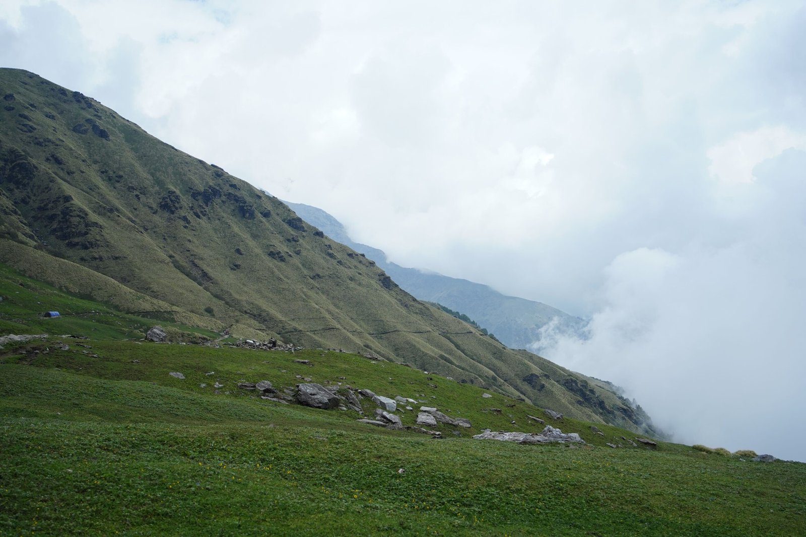
Walk through vast open meadows with expansive views of the surrounding Himalayan peaks.
Bedni Bugyal

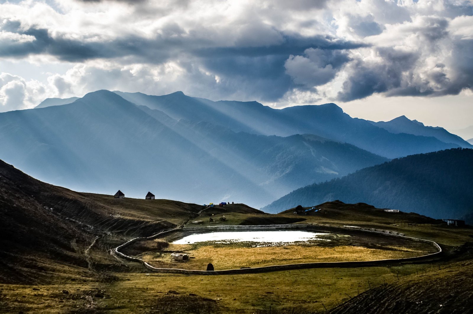
Cross one of the region’s most spectacular high-altitude meadows as the route continues towards the higher camps.
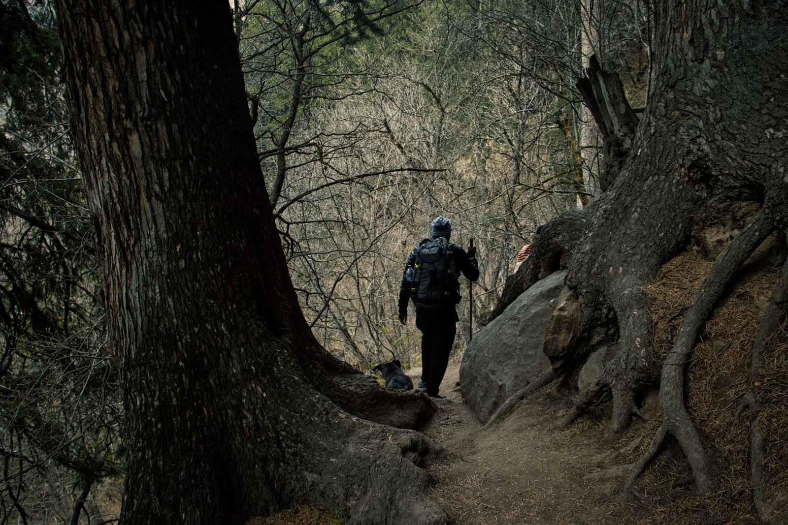
A hiker with a backpack navigates a forest trail surrounded by trees in Khir Ganga, India.

Kalu Vinayak

Climb towards the high-altitude temple before continuing into the increasingly rugged terrain above.

Bhagwabasa

Reach the final high-altitude campsite before the demanding early morning climb towards Roopkund.

Roopkund Lake

Reach the legendary high-altitude lake at approximately 5,029 metres before beginning the descent.

THE JOURNEY

How the Trek Unfolds

The journey begins at Lohajung and gradually climbs through villages, forests and open meadows before reaching the high-altitude terrain around Bhagwabasa and Roopkund. After the summit section, the trail descends through Bedni Bugyal and Wan before returning to Lohajung.

Drive | From Dehradun or Kathgodam | Lohajung: approx. 7,700 ft
Travel by road from Dehradun or Kathgodam to Lohajung, the base village for the trek. The day is dedicated to the mountain drive and reaching Lohajung, where you can rest and prepare for the trek ahead.

Distance: Approx. 290 km from Dehradun / 225 km from Kathgodam
Stay: Lohajung

Trek | Approx. 7 km | Around 5 hours | Didna: approx. 8,200 ft
Begin the trek from Lohajung towards Didna Village. The trail gradually climbs through the surrounding mountain terrain and forests before reaching the village, where you spend the night.

Distance: Approx. 7 km trek
Duration: Around 5 hours
Stay: Didna Village

Trek | Approx. 12 km | Ali Bugyal: approx. 11,500 ft
Leave Didna Village and continue through lush forest trails as the route gains altitude. The forest gradually opens into the immense alpine meadows of Ali Bugyal, where the landscape becomes wider and the Himalayan views more expansive.

Distance: Approx. 12 km trek
Stay: Ali Bugyal

Trek | Approx. 6–8 km | Patar Nachauni: approx. 12,800 ft
Continue across the high-altitude meadows from Ali Bugyal towards Patar Nachauni, passing through Bedni Bugyal and Ghora Lotani. The trail continues to gain altitude as you move towards the higher camps.

Distance: Approx. 6–8 km trek
Stay: Patar Nachauni

Trek | Approx. 4–6 km | Bhagwabasa: approx. 14,000 ft
The trail becomes steeper and more rugged as you leave Patar Nachauni and climb towards Kalu Vinayak Temple. Continue onwards to Bhagwabasa, where the landscape becomes increasingly rocky and alpine.

Distance: Approx. 4–6 km trek
Kalu Vinayak: approx. 12,800 ft
Bhagwabasa: approx. 14,000 ft
Stay: Bhagwabasa

Trek | Approx. 10–12 km | Roopkund: 16,499 ft
Start early from Bhagwabasa for the demanding climb towards Roopkund Lake. At approximately 5,029 m / 16,499 ft, Roopkund is the highest point of this itinerary. After spending time at the lake, begin the descent back towards Patar Nachauni.

Distance: Approx. 10–12 km trek
Roopkund Lake: 5,029 m / 16,499 ft
Stay: Patar NachauniSummit Trek | Early Morning | Roopkund: 16,499 ft
Start early from Bhagwabasa for the demanding climb towards Roopkund Lake. At approximately 5,029 metres (16,499 ft), the lake sits in the high-altitude terrain beneath the surrounding Himalayan ridges.

Junargali Summit | Approx. 5,150 m / 16,896 ft
From Roopkund, continue towards Junargali, the traditional summit section of the Roopkund route. The climb takes you onto the high ridge above the lake, with dramatic views across the surrounding Himalayan landscape.

Descent | Junargali → Roopkund → Patar Nachauni
After completing the summit section, retrace the route and begin the long descent towards Patar Nachauni for the night’s stay.

Trek & Drive | Approx. 12–17 km trek
Begin the descent from Patar Nachauni towards Wan Village, passing through the beautiful landscape around Bedni Bugyal. After reaching Wan, take a short road journey back to Lohajung for the final night.

Distance: Approx. 12–17 km trek
Drive: Approx. 15 km from Wan to Lohajung
Stay: Lohajung

Drive | Approx. 290 km to Dehradun / 225 km to Kathgodam
After breakfast, begin the return journey from Lohajung towards Dehradun or Kathgodam, depending on your onward travel plans. The drive brings the eight-day Roopkund journey to an end.

Distance: Approx. 290 km to Dehradun / 225 km to Kathgodam

The mountains don’t just take you higher; they take you deeper.

WHY THIS EXPERIENCE

A Himalayan Experience Designed with Purpose

The Roopkund Trek is designed as a gradual journey into high-altitude Himalayan terrain. Rather than rushing towards the summit, the route builds through villages, forests and meadows before reaching the demanding upper sections around Bhagwabasa and Roopkund.

Experienced Trek Leaders

Guidance throughout the route, from the lower mountain trails to the high-altitude sections around Bhagwabasa and Roopkund.

Thoughtfully Planned Itinerary

A progressive itinerary that allows the body and mind to adapt as the route moves towards higher terrain.

Safety at Every Stage

Careful planning, route awareness and appropriate support become increasingly important as the trek moves into higher altitudes.

A Journey Through Changing Landscapes

From traditional villages and dense forests to Ali Bugyal, Bedni Bugyal and the rugged terrain around Roopkund, every stage brings a distinctly different Himalayan landscape.

begin

Every Meaningful Journey Begins with a Conversation.

Whether you’re planning a challenging Himalayan trek or looking for a journey that takes you deep into the mountains, we’d love to understand what you’re looking for and help you choose the right experience.

FREQUENTLY ASKED QUESTIONS

Everything You Might Like to Know

If you have additional questions, we’d be happy to discuss them with you personally.

The Roopkund Trek is a challenging high-altitude trek involving long walking days, steep ascents and significant altitude gain. Good physical fitness and preparation are important.

Roopkund Lake is approximately 5,029 metres (16,499 ft) above sea level.

The complete circuit is approximately 53 km, although the exact distance can vary depending on the route and descent followed.

The trek begins from Lohajung, which sits at approximately 2,300–2,360 metres.

The route includes Ali Bugyal, Bedni Bugyal and Ghora Lotani, followed by the higher terrain around Patar Nachauni and Bhagwabasa.

The climb from Bhagwabasa towards Roopkund is generally considered the most demanding section because of the combination of steep terrain, high altitude and the accumulated fatigue from the preceding days.

The itinerary includes a stay at Didna Village and camps at the higher sections of the route, including Ali Bugyal, Patar Nachauni and Bhagwabasa. Exact accommodation arrangements should be confirmed for each departure.